Tibet info
Location: The Tibetan Plateau is located in central Asia, bordered by India and Nepal in the southeast; Bhutan in the south; and a number of Chinese provinces in the north and the east.
Area: 1.2 million sq km in the Tibet Autonomous Region, 2.5 million sq km in all contiguous ethnic Tibetan areas in China (approximately the size of Western Europe)
Average elevation: 4,900m
Terrain: 70% grassland, with forested areas in the lower elevations and tall mountain ranges at higher elevations
Climate: Warm in the summer (avg. 28C), cold in the winter (-15C), and extremely dry (except during the rainy season in July and August)
Languages: Tibetan and Chinese
Economy: agriculture and animal husbandry
Occupations: Most Tibetans are farmers and nomads, though Tibetans who live in larger towns or cities work in a variety of different jobs.
Religions: Tibetan Buddhism, Bon (the indigenous religion of Tibet), and Islam (practiced by a number of different minority groups and only a handful of ethnic Tibetans)
Main crops: barley, wheat, buckwheat, rye, potatoes, and assorted fruits and vegetables
Main livestock: sheep, cattle, goats, yaks, dzo, horses, and camels
Native wildlife: Tibetan antelope, wild yak, wild ass and Tibetan argali, blue sheep, black-necked crane, Tibetan gazelle, giant panda, red panda, golden monkey
Main handicrafts: carpets, hats, jewelry, wooden items, clothing, quilts, fabrics
World Heritage Sites: the Potala Palace (Lhasa) and the Norbulingka Summer Palace (Lhasa)
Traditional cuisine: roasted barley flour (tsampa), steamed dumplings (momo), noodle soup (thukpa), yak meat, goat meat, mutton, jerky, potatoes, yak yogurt (sho), butter and cheese.
By Air
The easiest way to get to Tibet is by plane and millions of visitors do so every year. Gonggar airport, about 70 km from Lhasa, is the main airport and operates several flights from mainland China as well as from Kathmandu, Nepal. The other four airports – Nyingchi airport, Gunsa airport, Chamdo Bangda airport and the latest addition Shigatse airport – are less frequently used apart from Nyingchi which has daily flights from Chengdu, Sichuan. Chengdu, 90 minutes flying from Lhasa, is the main hub for flights to Tibet, though direct flights are also available from other Chinese cities like Beijing, Shanghai, Chongqing, and Xian.
Many domestic carriers operate services to Tibet and an airline based in Lhasa, Tibet Airlines, is set to start operations soon giving further fillip to air transport to the region.
By Road
The Friendship Highway from Kathmandu, Nepal to Lhasa is a fabulous road and one of the highest in the world. The 870 km route passes through spectacular countryside and, even though it is a long trip, there are many takers for this overland tour to Tibet. The highway is closed during the snowing season. The Qinghai-Tibet Highway from Golmud to Lhasa is another, less preferred, option. The other three highways are, however, more remote and rarely used by foreign travelers.
By Rail
Completed in 2006, the remarkable Qinghai-Tibet railway line from Xining to Lhasa (27 hours) is the highest in the world and touches heights of 5000 m along the way. Piped oxygen is provided in cabins to help passengers cope with altitude sickness. The train from Beijing to Lhasa takes under 48 hours; you can also catch trains to Lhasa from Shanghai, Chengdu and other cities. The amazing landscape you come across makes up wonderfully for the long hours. The line is currently being extended to Shigatse, Tibet’s second city.
Since inauguration of the railway, the train tickets to Lhasa have been very tight to book, especially for soft sleeper (there are about 64 soft berths only on the train). If it is part of your planning, you are kindly advised to fly in and take train out if possible.
Pick the perfect activity for the next holiday!

Trekking in Nepal
Namaste Nepal Travels Heartly welcome to all…

Tours in Nepal
Tours in Nepal with Namaste Nepal Travels provides…

Adventure Activities
Nepal is most popular Destination for adventure…

Mountain Flight
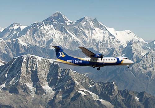
Namaste Nepal Travels and Tours Provides daily Mountain Flights service.…
Certificates & Partners


